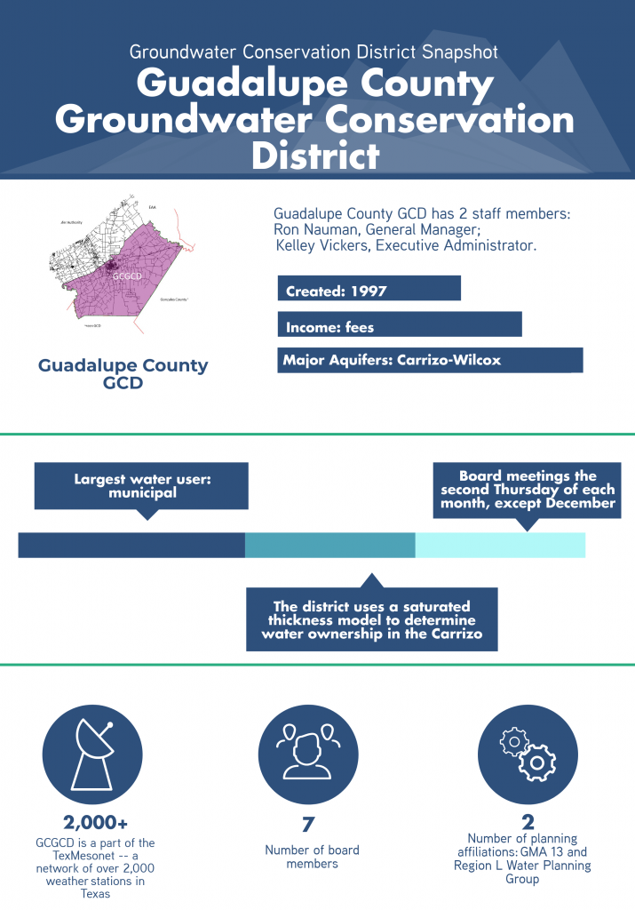
Guadalupe County GCD
Permitting
Rules for issuing operating permits
When considering an operating permit application, Guadalupe County Groundwater Conservation District (GCGCD) first requires proof of ownership of the water rights. From there, the district’s permitting rules are applied to the application. Due to differing hydrogeologic conditions, permitting rules are dependent on whether the application is for the Wilcox or Carrizo aquifer. Below are the rules for permitting in each aquifer.
Wilcox
- Volume: ½ acre foot (AF) of water per surface acre owned
- Area of influence — Around any proposed well, a circle with a radius of 4 lateral feet times the average projected Gallons Per Minute (GPM) capacity is defined as the “area of influence.”
- Applicant must obtain 100% of the water rights within the “area of influence”.
- “Area of Influence” of adjacent Wilcox wells, may touch but not overlap.
Carrizo
- Volume: A saturated thickness model – a 3D program that uses hydrogeological data – is used to calculate water permits. Permit volumes are determined by multiplying the relative volume of the Carrizo sand beneath a particular property by the annual production cap set by District.
- Area of influence — Around any proposed well, an ellipse whose major radius is 3 lateral feet times the average GPM and minor radius is two lateral feet times the average projected GPM is defined as the “area of influence”.
A drought management plan is required for a well in either aquifer, unless requesting less than 200 AF/year.
Board Considerations
When considering a permit application, the board takes into account the factors below.
- Is the application administratively complete?
- Does the applicant possess the required amount of water rights to produce from the formation in accordance with the district’s rules?
- Is the proposed use beneficial?
- Recommendations from the consulting geologist
- What impact will the proposed amount of water have on the aquifer and surrounding wells over time?
- Would the requested amount of water negatively impact the District’s ability to achieve its Desired Future Conditions (DFCs)?
- Are the spacing and setbacks of the proposed well(s) in accordance with all District and Texas Department of Licensing and Regulation (TDLR) Rules?
Administratively Complete
The following items are taken into account when considering if an application is administratively complete:
- The application must include name of applicant, their address, and additional contact information.
- Proposed location of well(s) (with maps) and the anticipated production capacity of well(s)
- Formation from which the water will be withdrawn and anticipated depth of well(s)
- Number of contiguous acres of land that the well is to be constructed upon
- Total amount of water requested
- Amount of water rights committed to each well associated with the application
- Purpose of proposed use
- Identify well(s) producing from same formation within proposed “area of influence” and notify those owners via certified mailing that an application has been filed with the district
- Provide notice in newspaper
- If an application is over 200 AF/year, application must provide an anticipated effect report of 25 and 50 years on future use, and provide water conservation measures and a drought management plan.
- Applications must be filled out completely, signed and accompanied by application fee of $500.00.
Operating permit process
Below is an outline of the process GCGCD staff takes when an operating permit is filed. Most applications for less than 200 AF are processed within one to two months. Larger requests can take up to 3 months for the district to review, verify and hold a hearing on the application. For some of the irrigation applications, the district helps the applicant with the notifications and impact studies.
- Review the application and verify information
- Visit the site and confirm GPS coordinates
- Identify wells within the area of influence from the district database and confirm that all well owners have been notified of application filing
- Consult with GCGCD’s geologist and review the impact studies of production amount over time to determine drawdowns
Permit Stats for 2017
Operating Permits: 7 irrigation wells; 2 municipal renewals
Exempt Well Registrations: 50+
Brackish Water Permits: 0
District Programs
TexMesonet
The district teamed up with the Texas Water Development Board (TWDB) collecting weather data in a  statewide program – the TexMesonet, a network of over 2000 weather stations in Texas. In a cost sharing program with TWDB, GCGCD has purchased and installed seven weather stations across its District. The stations monitor temperature, precipitation, wind speed and direction, relative humidity, barometric pressure, solar radiation, soil moisture and soil temperature. The systems are solar powered and self-contained.
Data from the sites are streamed to a web viewer, updated every 15 minutes. This data is used by the National Weather Service (NWS), local river authorities and local emergency responders for forecasting and flood monitoring. The network will also be used for wildfire monitoring and response, responding to drought, and in providing information for more efficient irrigation.
Helpful Resources
Visit GCGCD’s website www.gcgcd.org