USGS Oklahoma-Texas Water Science Center
The Texas Water Science Center, which is in the process of merging with the Oklahoma Water Science Center to form the Oklahoma-Texas Water Science Center, is one of many water science centers of the United States Geological Survey (USGS) that are distributed across the Nation. The mission of the Oklahoma-Texas Water Science Center (OTWSC) is to collect high-quality hydrologic data and conduct objective scientific investigations on the quantity, quality, use, and availability of surface-water and groundwater resources within the great states of Oklahoma and Texas.
Working in cooperation with municipalities, river authorities, groundwater districts, tribes, and other agencies, the OTWSC works largely within four thematic areas: surface water, groundwater, water quality, and water availability. USGS has been studying groundwater resources in Texas and Oklahoma for more than 100 years. One of the earliest applications of mathematical modeling in the OTWSC was to evaluate underground flow in the Rio Grande valley near El Paso in 1902. Today, the OTWSC continuously monitors about 850 sites in Texas, of which 35 are groundwater sites mostly located in the greater Houston area. The Texas part of the OTWSC has about 170 employees, has produced hundreds of publications, and has collected groundwater information since before a permanent office was established in Texas in 1915.
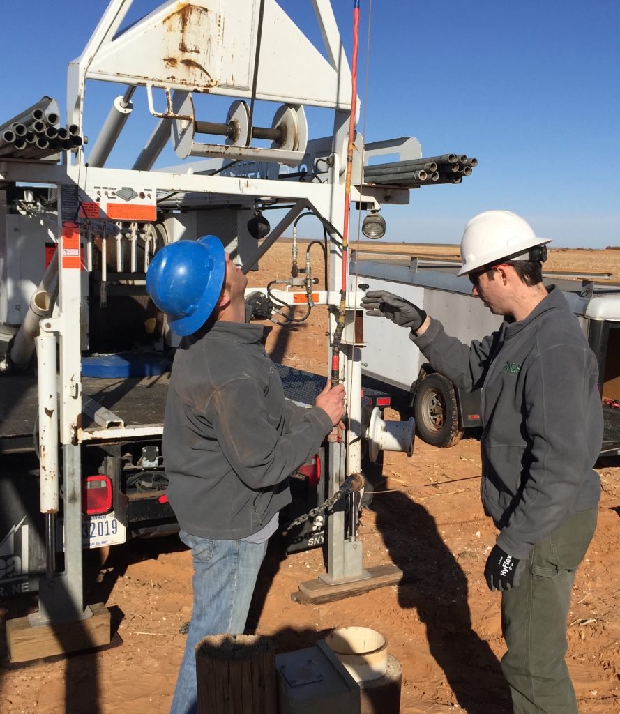
Some examples of the OTWSC groundwater
science activities include groundwater quality and level monitoring,
hydrogeologic mapping, geochemistry and water quality assessments, tracer
studies, subsurface hydrogeologic and aquifer characterization, water availability
and use assessments, database development and data visualization, recharge
assessments, and numerical modeling and uncertainty analysis. OTWSC has
completed numerous studies in cooperation with groundwater conservation
districts all over the state. Some recent cooperative studies include:
- Brazoria County Groundwater Conservation District, Fort Bend Subsidence District, Harris-Galveston Subsidence District, and Lone Star Groundwater Conservation District – USGS has worked with these GCDs to conduct multi-district groundwater level data collection and interpretation to assess short- and long-term effects of groundwater pumping on groundwater levels in the Chicot, Evangeline, and (more recently) Jasper aquifers in the greater Houston area. USGS is also measuring compaction rates at selected locations, which can be used to evaluate the occurrence of subsidence as a result of groundwater withdrawals. USGS developed a web application for exploring, visualizing, and accessing the data and related published reports.
- Central Texas Groundwater Conservation District – USGS is using geophysical techniques to evaluate the source of water to a spring complex; to assess gains and losses of water (surface water-groundwater interaction) in a local stream; and to evaluate aquifer properties in granitic gravels.
- Clearwater Groundwater Conservation District – USGS has conducted groundwater-quality sampling to evaluate whether there are any compounds that might be of concern to springs that provide aquatic species habitat. USGS has also conducted geophysical logging to identify hydrogeologic zones of contribution in karstic Edwards and Trinity aquifer wells.
- Edwards Aquifer Authority – Understanding how much water is available in the karstic Edwards aquifer is important to water resource managers who make decisions regarding how much water can be used and how much water is available for endangered species habitat in springs that discharge from the aquifer. USGS computes annual recharge estimates that are used to help quantify how much water is in the aquifer, and springflow discharges are monitored for endangered species habitat requirements. USGS is also conducting an analysis of the agency’s groundwater flow model to provide an estimate of uncertainty in simulated springflow during a hindcast of the 1950s drought of record.
- High Plains Underground Water District – As the Ogallala aquifer is consumed, water resource managers are interested in whether and how much water is available in other hydrogeologic units in the region. USGS is providing geophysical logging to refine understanding of Edwards-Trinity and Dockum formations at selected locations.
- North Plains Groundwater Conservation District – USGS is conducting follow-up groundwater-quality sampling to compare to previous baseline sampling to see if there are any changes in aquifer conditions.
- Llano Estacado Underground Water Conservation District, Sandy Land Underground Water Conservation District, and South Plains Underground Water Conservation District – In cooperation with these GCDs, USGS has used surface geophysical techniques, borehole geophysical logging, and geochemical and hydrologic data collection to refine an understanding of the hydrogeologic framework of the Ogallala, Edwards-Trinity, and Dockum aquifers. USGS developed a data visualization tool that water resource managers can use explore data, inform stakeholders, and make decisions.
- Lone Star Groundwater Conservation District – As a result of increasing interest in groundwater resources in the region, water resource managers were interested in an improved understanding of the ability of local aquifers to recharge, and at what rates recharge may occur. USGS used selected geochemical and isotopic methods to assess recharge rates in the region. USGS is installing shallow groundwater piezometers to further characterize recharge.
- Middle Pecos Groundwater Conservation District – USGS used surface geophysical techniques, borehole geophysical logging, and geochemical and hydrologic data collection to refine an understanding of the hydrogeologic and structural framework of the aquifers present in the District. USGS developed a groundwater flow model using the refined hydrogeologic information.
Products developed from USGS
studies, such as data reports, maps, interpretive reports, and web applications
are available to the public.
In addition to cooperative studies, some recent federal USGS studies include ground-water quality assessments of selected aquifers such as Rio Grande alluvium and West Texas Bolsons, High Plains aquifer system, Edwards-Trinity aquifer system, and Gulf Coast aquifer system; regional water availability study of the Gulf Coast aquifer system (Coastal Lowlands aquifers); transboundary aquifer geophysical and water-quality studies along the Rio Grande; groundwater flow modeling enhancements; and national groundwater network assessments.
For more information, visit the USGS OTWSC website.